What is the Children’s Atlas of Wine?
A project founded by James Sligh that maps the landscapes we can see through a glass of wine, explores the stories behind them, and talks about why they matter.
What do you do?
We teach CLASSES and host tastings to empower curious drinkers and train aspiring wine professionals, both in-person and remotely.
We have a CLUB that, four times a year, ships sets of bottles and artwork that celebrate unsung varieties and histories, maps the regions and communities growing wine’s future, and puts them in context.
We host a growing LIBRARY here of free regional profiles, grape files, and illustrations, powered by our Patreon.
And we draw MAPS! You can find our art hanging on walls like Maine & Loire in Portland; Clos Wine Shop in San Diego; Vine Wine and Cecily in Brooklyn; Paradis Books & Bread in Miami; and Domestique in Washington, D.C. Sometimes, we make t-shirts.
Why is it called the ‘Children’s Atlas’?
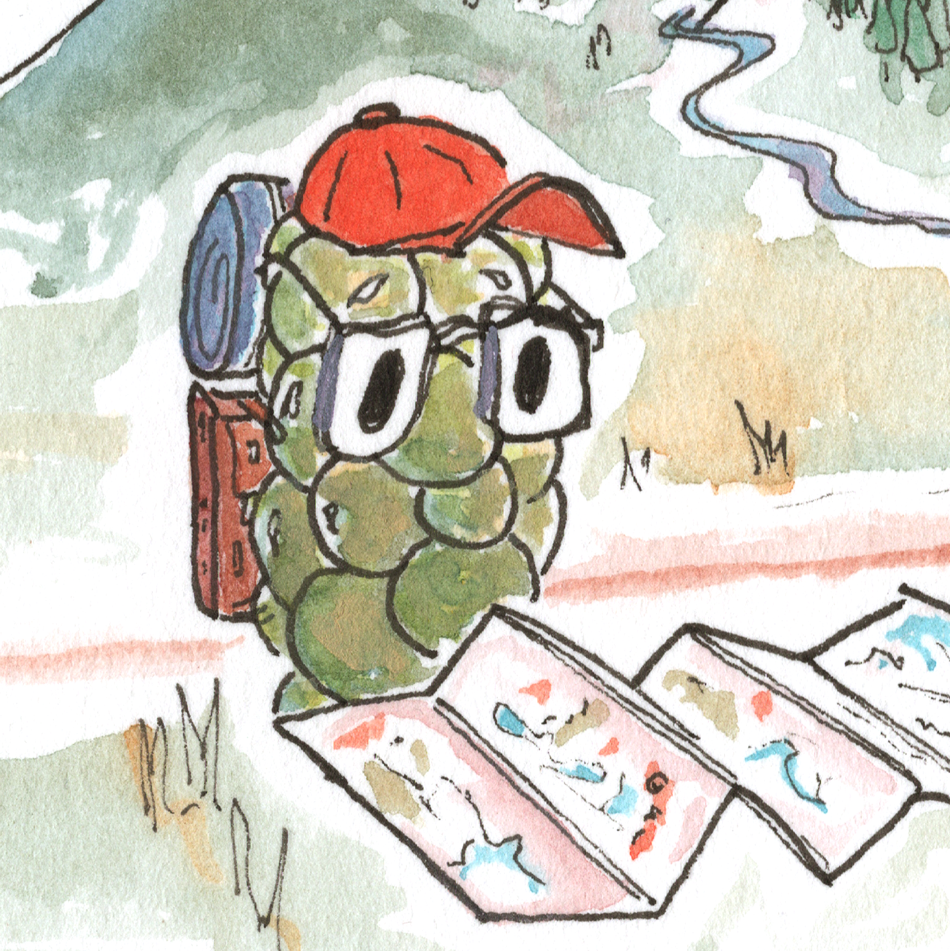
It started with little doodles James was making to help explain the natural winegrowers he was pouring.
He knew how to draw four shapes (cartoon house; cartoon tree; mountain; river). He figured if water was blue, you should paint it blue. He had an $8 set of children’s watercolors.
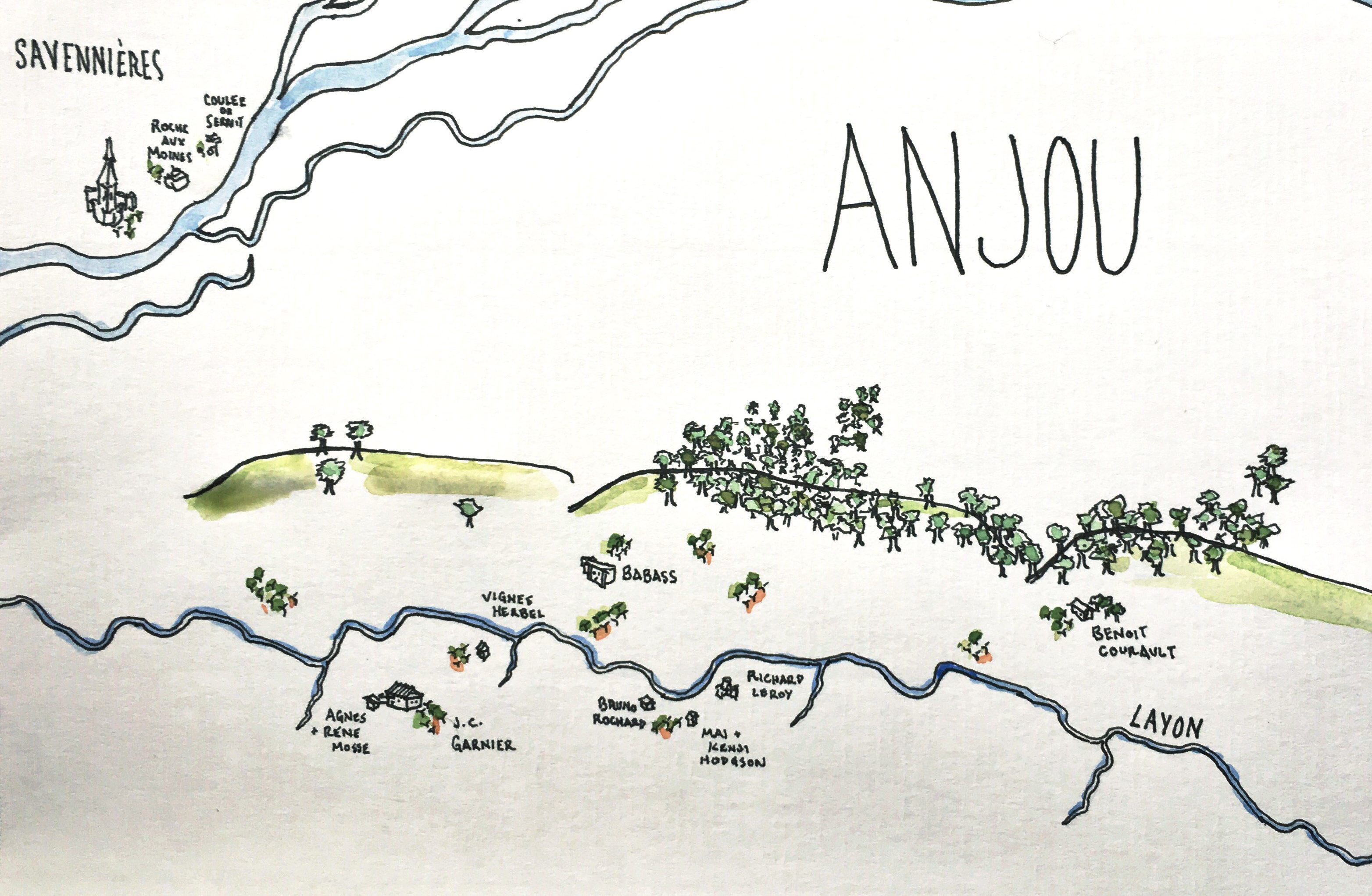
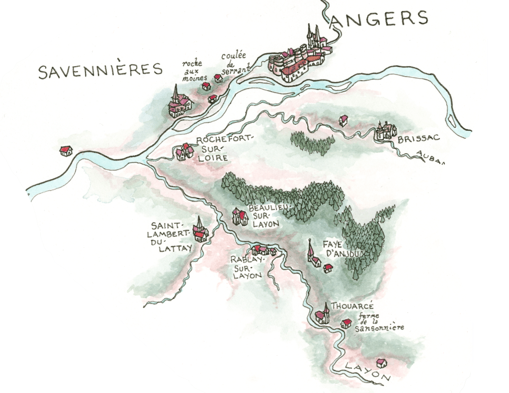
The result (when you’re trying to, say, figure out where a bunch of Loire farmers are bottling wines as ‘vin de table’ with no region on the label) looked like this, in roughly 2019:
Doing the same thing over and over again, it turns out, results in certain incremental technical improvements, along the lines of ‘how to indicate elevation changes’, ‘doing underpainting to make more interesting colors’, and ‘making letters better’.
In 2020, lockdown happened, along with the collapse of the NYC restaurant / wine industry, which among other things—a reckoning in wine around access, racism, and widespread sexual harassment, conversations around what hospitality means vis a vis consent—meant free time to paint.
After a couple of years, the same place looked more like this:
No matter how good James ever gets at painting (he’s never going to be great!) the goal remains the same:
Trying to understand wine regions as landscapes in context. Looking beyond appellation boundaries and national borders to where the water flows and where the ground changes, where growers cluster in community and where there’s excitement to be found, right now, if you’re curious.
They’re not wine maps for children; we’re the kids.
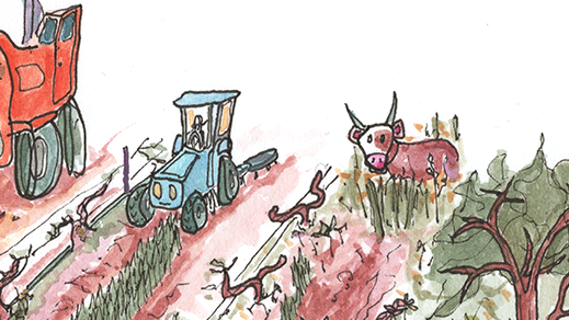
And there’s still an awful lot James can’t draw:
Who is James?
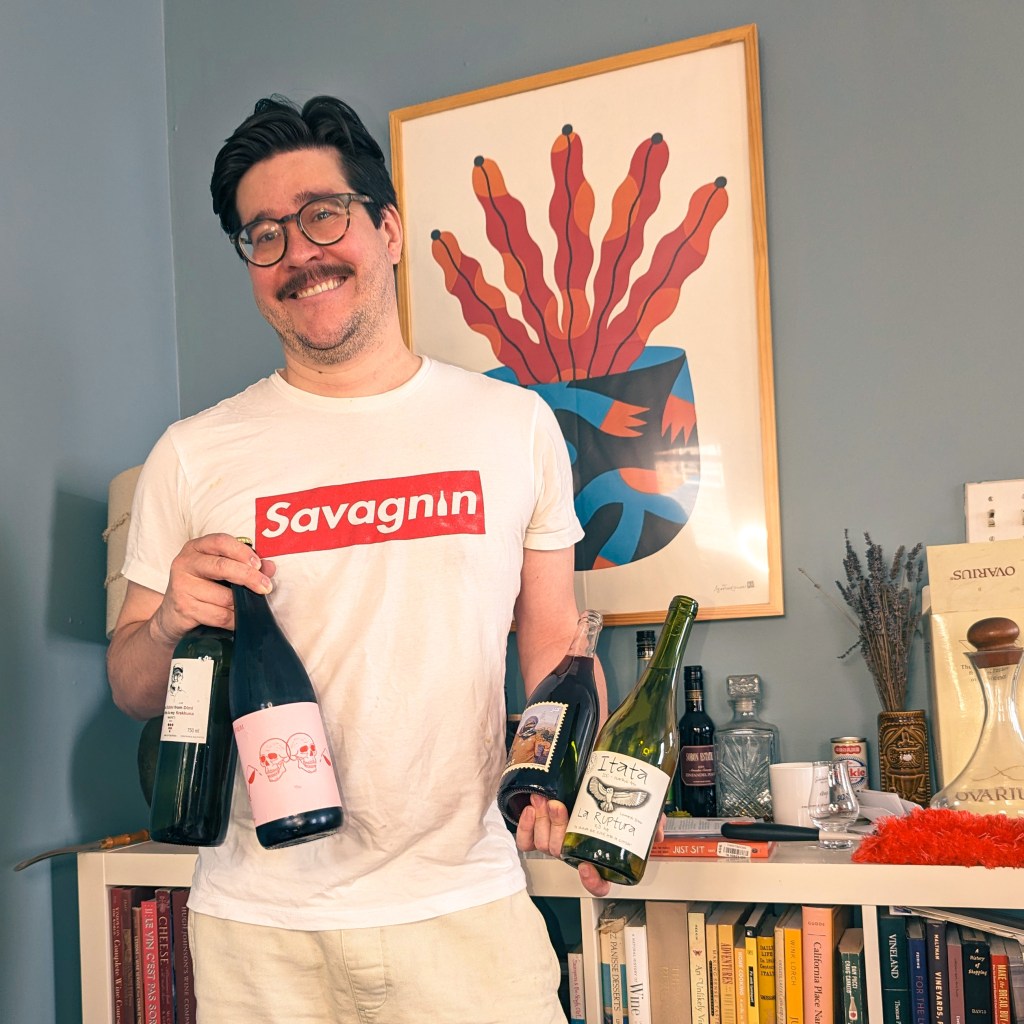
James Sligh is a Brooklyn-based wine person. He came up through some of New York’s deepest (and long-gone) cellars: cellar rat turned floor sommelier at Pearl & Ash, part of the opening team at Rouge Tomate, etc etc. He’s even worked service at some places that are still open.
In addition to opening very fancy bottles of wine and kicking around the second wave of NYC’s natural wine movement, there were other experiences, equally formative — maybe more so?:
The first time he had to give a tasting note was as a cook cupping coffee (shout out to Big Bear Café circa summer 2011!)
The first time he saw wine embedded in community was working at his neighborhood store. (Shout-out to Vine Wine!)
The first time he learned that teaching was more than talking at people was leading interactive English as a foreign language activities for public school kids and working adults in Spain and Poland (and for almost anybody, wine is just another foreign language).
With Jirka Jireh, he co-founded Industry Sessions, a natural wine study for BIPOC beverage professionals that grew out of the pandemic and the industry reckoning following the murders of George Floyd, Breonna Taylor, and others. (‘How one woman is diversifying the wine industry, one Zoom at a time,’ Los Angeles Times, Nov. 4, 2020).
He was the beverage director at OSTUDIO in Bed-Stuy (‘Best Bars in America 2023’, Esquire), and consults on a number of small wine lists around the city.
He is a contributing editor for Disgorgeous, an unhinged wine collective, and the education lead for [ABV] Ferments, a traveling wine summit celebrating hybrid and native grapes and alternative fruit fermentations, founded in 2022 by Jahdé Marley.
(Keep in touch, or go home.)